Drone Mapping & GIS
Dates
Feb. 9, 2026 → Feb. 12, 2026
Program Leader
Bill Levien
Grades
9
10
11
12
Description
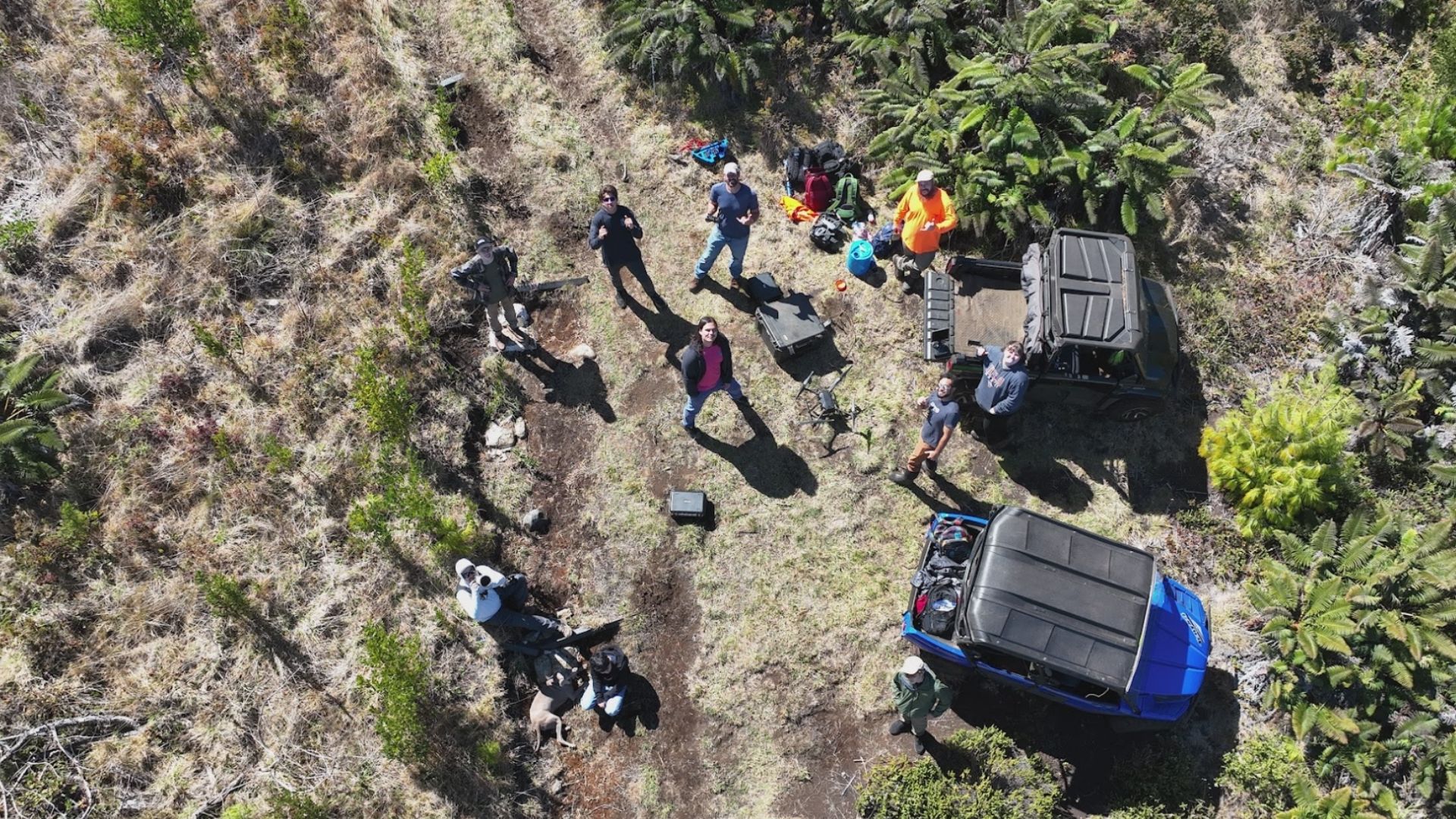
Drones are taking over! Learn how to fly the latest drones, including programming them for autonomous flight and data capture techniques such as photogrammetry to generate high-resolution 3D imagery that can be used as virtual environments for gaming and interactive storytelling.
Highlights
We will:
Visit Waikamoi Preserve with The Nature Conservancy
Spend Wednesday night on Haleakala Ranch in a cabin
Learn regulations and best practices for flying drones
Create detailed flight plans, and autonomous missions
Fly at least 3 unique locations to capture data and imagery
Process imagery, videos and data to create highly detailed maps
Use the maps to tell a story about each location that we visited
Learn about Part 107 Commercial Licensing'
Transportation
Seabury will provide transportation if needed. Students are allowed to be dropped off by 7:30am and picked up at 4:00pm at the location.
Location
The Nature Conservancy, Haleakal Ranch Overnight
Meals
Lunch and snacks included
Logistics
Adviors will provide a list of items to bring during the Group meetings
Quick Facts
- Capacity 6
- Price $275.00